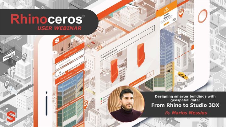
Rhino User Webinar: Designing smarter buildings with geospatial data
From gathering geospatial data to converting them into meaningful tools. This webinar will give you a complete overview of how to stream GIS data in Rhino 3D through Grasshopper and Heron and how to convert this data into parametric tools to shape your design.

From gathering geospatial data to converting them into meaningful tools. This webinar will give you a complete overview of how to stream GIS data in Rhino 3D through Grasshopper and Heron and how to convert this data into parametric tools to shape your design.
My focus as an Architect and the real-time cloud BIM and GIS solutions we developed is on gathering and processing reliable geospatial data and making them accessible to users around the globe by turning them into tools, with the ability to test and simulate 3D projects within their 3D environment.
This webinar is designed to help you understand how geospatial data are formed and how they can help us in designing better and more optimised designs for our cities. We will use Rhino 3D, Grasshopper, VisualARQ and QGIS to bring in geospatial data and investigate the capabilities of informing our design.
We will finalise the work by taking our design to Studio 3DX on the web for a design review in 3D.
Our focus on specific areas will be:
- Find and access reliable geospatial data from governmental and open sources
- Import geospatial data into your Rhino 3D, Grasshopper
- Utilise the full potential of the geospatial data to shape your 3D design
- Upload and visualise your 3D model on Studio 3DX for real-time design reviews.